Contact
Mail: info@greinaalta.ch
Travel Information
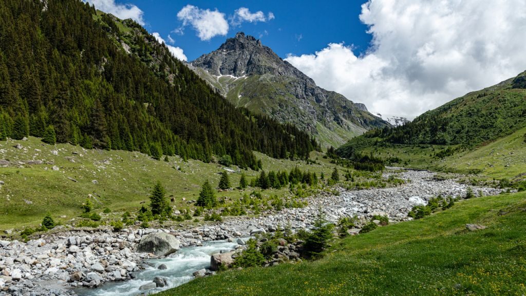
The Greina Alta trek usually starts in Curaglia and ends in Vals. However, it is also possible to hike the tour in the opposite direction. Please note that the route is slightly more demanding when done in reverse. Both locations are easily accessible by public transport and by car.
Arrival by public transport:
SBB online timetable or Route planner Search.ch
Arrival by car:
From the north:
Sargans – Chur – Ilanz – Disentis – turn towards Lukmanier Pass to Curaglia
Sargans – Chur – Ilanz – turn towards Vals
From the south:
Bellinzona – Biasca – Lukmanier Pass – Curaglia
Bellinzona – San Bernardino Pass – Bonaduz – Ilanz – turn towards Vals
Weather
Along the Greina Alta route, hikers travel in the area of the main Alpine ridge. Thanks to the sheltered inner-alpine location, it often happens that it is already raining in the lowlands while clouds are breaking up over the Greina, revealing blue skies. In addition, the proximity to the south often brings more favorable weather conditions.
The route crosses a region with a very interesting and changeable microclimate. It is therefore recommended to consult weather forecasts from several locations along the route.
- For Curaglia, Meteoblue usually provides very reliable data
- Conditions for the ascent to the Medelserhütte can be well assessed by comparing the forecasts for Piz Medel and Curaglia
- Weather forecast for Fuorcla Sura da Lavaz
- Weather forecast for Luzzone Dam
- Weather forecast for Soreda Pass
- Weather forecast for Zervreila
- Weather forecast for Vals
Publications about the Greina Alta Trek
- Ausführliche Tourenbeschreibung im UTO, dem Mitgliedermagazin der Sektion Uto
- Bericht über die Greina Alta Tour in den Clubnachrichten der Sektion Bodan
- Bericht über die Greina Alta Tour in Periodico del CAS Ticino (it)
- Medienmitteilung Greina Alta und auf italienisch
- Tourenbericht in “Opinione Liberale” (it)
- Der Greina Alta Flyer
Tourist offices
Bus and Taxi
- Taxi in Disentis: Ignaz Furger, 081 936 44 44
- Taxi in Ilanz: Taxi Mario
- Valser Wanderbus
- Bus Valle di Blenio
- Alpin Bus Greina
Organizations
Sponsors
We sincerely thank the sponsors of the Greina Alta Trekking. Thanks to their support, we are able to offer the complete package at a reduced price.